Good news to Esri ArcGIS! Sentinel-2 Image Services is now available to all Esri users for NO additional cost. The service is available through the ArcGIS Living Atlas of the World.
In providing this service to Esri users, Esri President Jack Dangermond said “we are committed to helping our users discover, explore, and better understand our changing planet. Pairing Sentinel-2 imagery with our ArcGIS Image Server provides a powerful platform for in-depth analysis which can inform meaningful action.”
The multi-spectral data is made quickly available using ArcGIS Image Server and publishes an image service through the ArcGIS Living Atlas of the World, hosted on the Amazon Web Services Infrastructure. The Esri Sentinel-2 Image Services includes all Sentinel-2 imagery going back 14 months, allowing users to easily reviewed changes. Image analysis can be run directly on the service to create indexes displaying properties such as vegetation health or soil moisture as well as quantifying the changes over time, for better understanding of the environment.
Sentinel-2 can also help provide understanding of the conditions that lead to fires such as this past winter’s Thomas Fire, which is California’s largest wildfire on record. The Thomas Fire burned over 280,000 acres and triggered massive mudslides. Visualizing factors, such as periods of increased moisture contributing to more lush vegetation followed by hot and dry weather, can help predict future wildfires and mitigate their effects in the future.
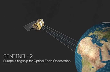
Sentinel-2 is part of Copernicus, the world’s largest single Earth observation program directed by the European Commission in partnership with the European Space Agency.