The Philippine Red Cross, headed by Chairman/CEO and Senator Richard J. Gordon, got to further improve its humanitarian and relief work using location intelligence in the Philippines after Esri recently donated 2,000 ArcGIS Field Worker user types at no cost.
With the Field Worker user type, PRC staff and volunteers can view and edit data that has been shared with them by other ArcGIS users on ArcGIS Online. This user type will allow PRC users/volunteers in the field to view and edit data using any of the apps included in the Field Apps Bundle and directly through ArcGIS Enterprise. The mobile apps included are: Collector for ArcGIS, Survey123 for ArcGIS, and Workforce for ArcGIS) and directly through ArcGIS Enterprise.With the donation, 2,000 PRC (out of 650,000) volunteers can now map in real-time (even in disconnected and remote environments) and enable PRC decision makers in the Operations Center to rapidly mobilize manpower, deploy resources and rapidly assess damage in both connected and disconnected environments.
This means that the donation will greatly impact positively the PRC’s humanitarian and relief work by enhancing its location intelligence using Esri’s ArcGIS technology, even in disconnected environments and remote barangays. Specifically, it will boost PRC’s on-the-ground data collection in aid of their humanitarian and relief work in real-time and while enhancing the decision-making process in the PRC Operations Center.
Ramon B. Murillo, PRC Assistant Secretary General for Corporate and Business Development said Esri’s donation “will greatly upgrade our services, specifically, in our disaster management service, health service, welfare service, volunteer service, if not, most if not all our services which are location-based.”
May Layugan, PRC Operations Center manager expressed delight in Esri’s donation of 2,000 field worker user type saying that in PRC’s disaster management service it “will greatly boost our 650,000 volunteers mapping activity, even in disconnected environments, and we can quickly search any area and instantly know who to mobilize and which resources to allocate at a moment’s notice.”
Layugan added that the donation “will help our volunteers capture more information and images using Esri field apps that feed directly into our enterprise GIS. And more important our volunteers can still get all this information even if they are in disconnected environments and remote barangays which are not electrically-powered and are not connected to the internet.”
Various Red Cross organizations like the American Red Cross, the Lebanese Red Cross, the Philippine Red Cross, etc. use Esri’s ArcGIS in their humanitarian and relief work.
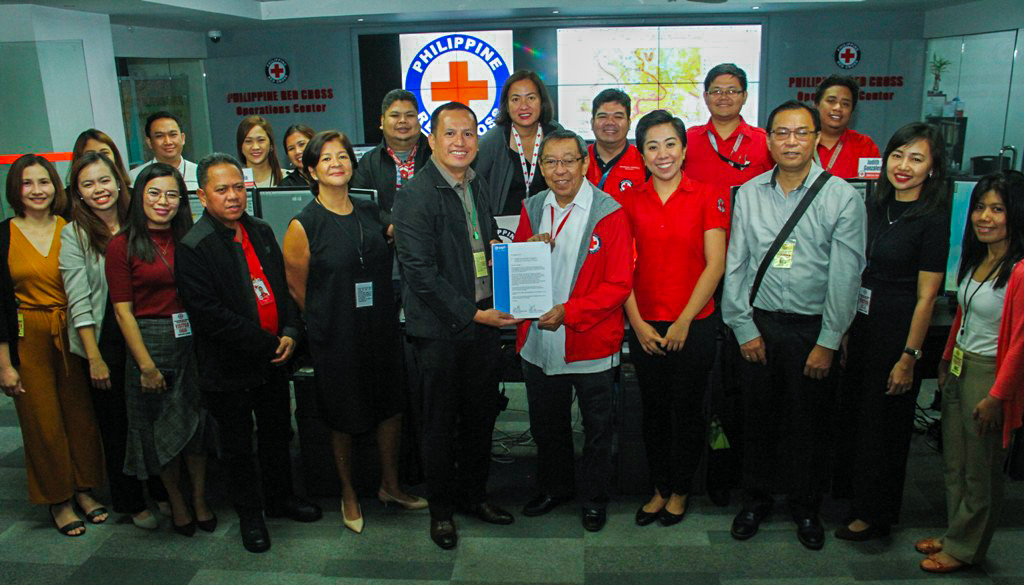
In a no-frill ceremony at the PRC headquarters this September, the PRC received the donation through its representatives: Ramon B. Murillo, Assistant Secretary General; Manuel C. Santos Jr., manager, International Humanitarian Law; Brian Kae T. Enriquez, manager, WASH; Ana V. Buensuceso, Finance Director; and, May Layugan.
Turning over the donation was the Esri local distributor in the Philippines, Geodata Systems, represented by James Elrond B. Lagare, Managing Director; Ma. Celeste D. Donato, Director of Professional Services; and Helen Limjap, Director of Sales and Marketing.
In the recent 2019 Esri User Conference in San Diego, the PRC through its Operations Center manager May Layugan, presented before international corporate and business leaders and non-profit heads on how the PRC has been leveraging its use of ArcGIS in its humanitarian and relief work in the Philippines.
About Esri:
Esri, the global market leader in geographic information system (GIS) software, location intelligence, and mapping, offers the most powerful geospatial cloud available, to help customers unlock the full potential of data to improve operational and business results. Founded in 1969, Esri software is deployed in more than 350,000 organizations including 90 of the Fortune 100 companies, all 50 state governments, more than half of all counties (large and small), and 87 of the Forbes Top 100 Colleges in the U.S., as well as all 15 Executive Departments of the U.S. Government and dozens of independent agencies. With its pioneering commitment to geospatial information technology, Esri engineers the most advanced solutions for digital transformation, the Internet of Things (IoT), and advanced analytics. Visit us at esri.com.
About GEODATA SYSTEMS
Geodata Systems Technologies, Inc. is an information technology company focused on providing geographic information systems (GIS) and mapping solutions in the Philippines. It has been servicing the Philippine GIS market since 1991. Geodata Systems is the Sole Authorized Philippine Distributor of Esri, the global market leader in geographic information systems (GIS) that offers the most powerful mapping and spatial analytics technology available. It has established business relationships with companies in the USA and Asia Pacific (i.e. Trimble, L3Harris, IBM, Oracle and Microsoft), and local business partners for marketing, product development and solution provisioning.